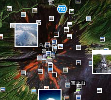
Geotagging photos is nothing new and has always been a tedious task. What if there was some way to geotag without having the hassle of remembering where you took certain photos. Using Google Latitude and some new features in Panoramio, there’s now an easy and instant way to geotag photos.
Panoramio is a Google owned website which allows the organization, storage and the ability to geo-locate your photographs. While Google Latitude is a great tool to share with your friends to let them know exactly where you are, which is available on most mobile devices. Since Google Latitude will store your history, you can go back and see exactly where you’ve been in the past. Don’t the two seem to fit perfectly together? Location mapping and manual geo-tagging photos, hmmm?
 Google has now added the feature to instantly synch your Google Latitude history with your Panoramio photos. You have to enable the feature in your Panoramio settings, which will give access to your Latitude history. Once it accesses this history it takes the settings, like time and date, of the photos you’ve uploaded to Panoramio, makes sure everything is correct and then automatically geo-tags your photos, so you don’t have to manually do them.
Now you can go places and take pictures without ever having to worry about where you took the pictures; just make sure you have Google Latitude running on your mobile device.


